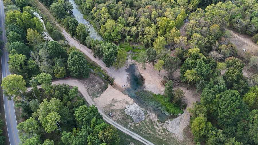
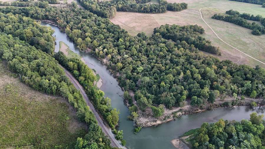
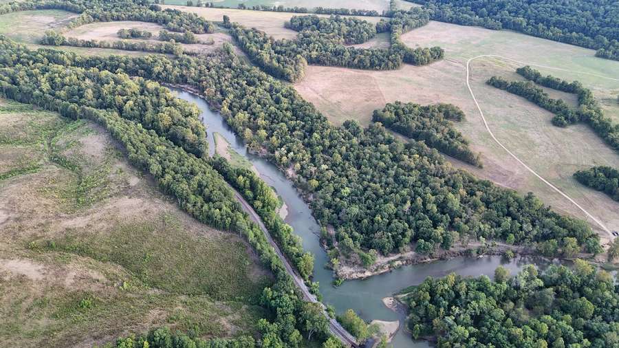
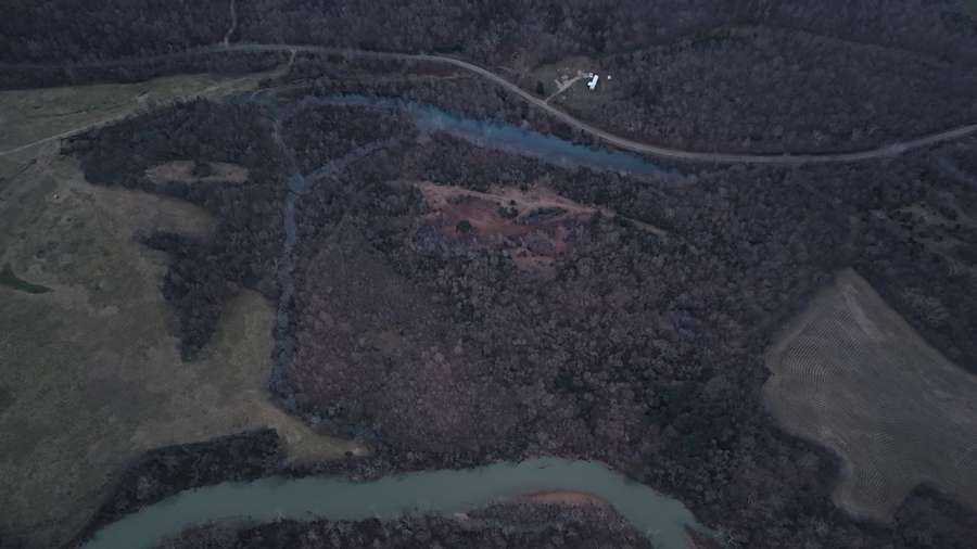
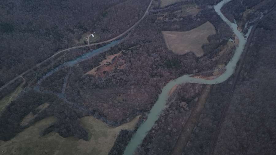
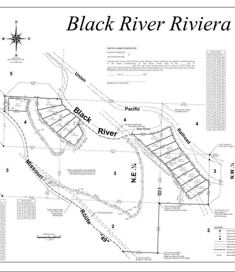
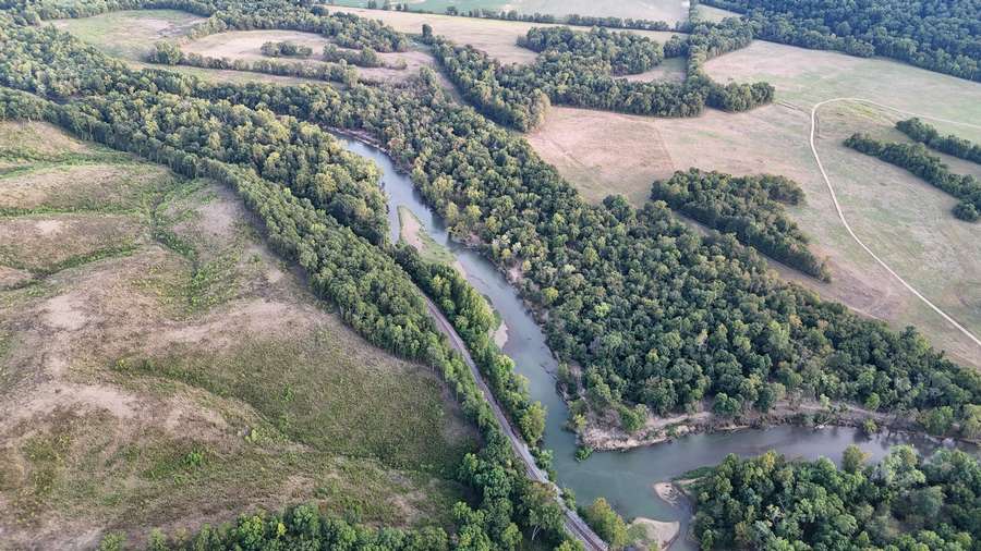
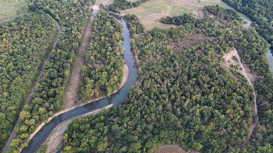
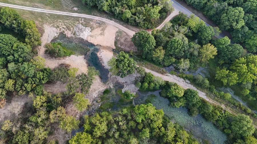
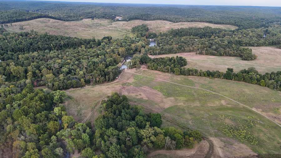
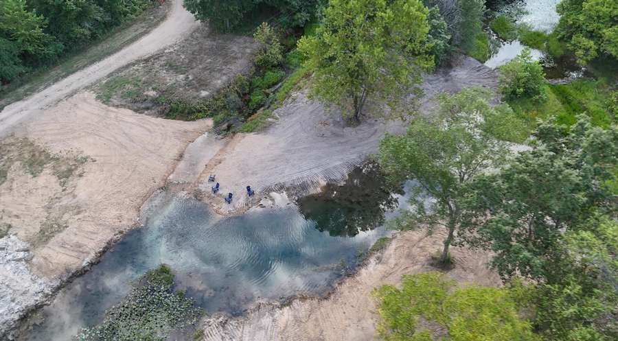
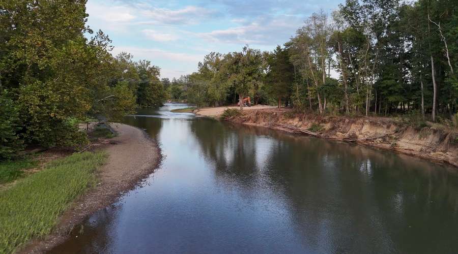
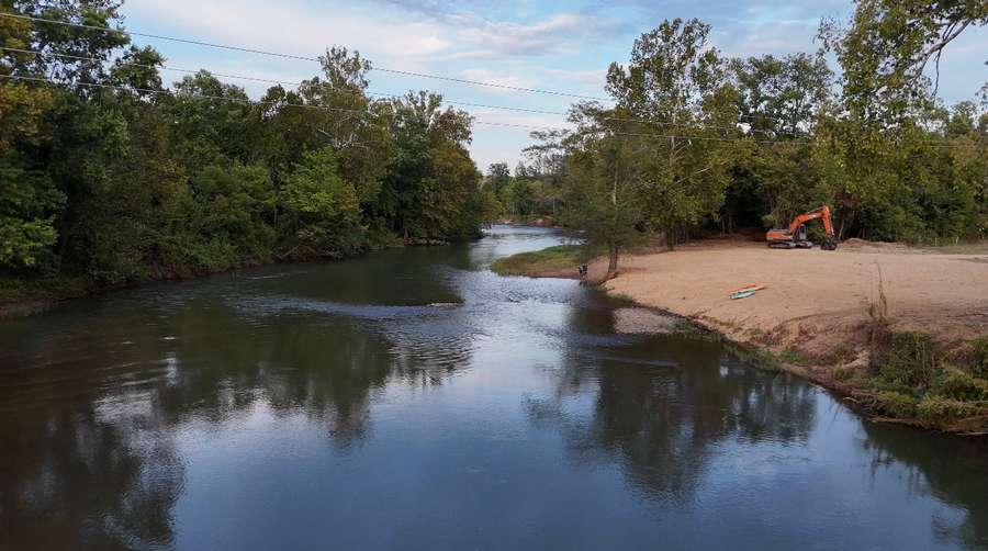
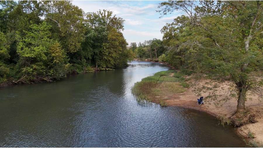
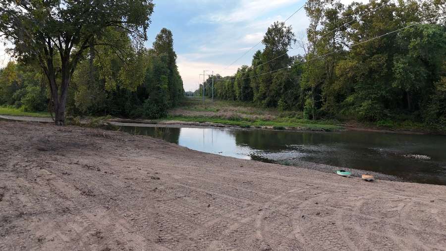
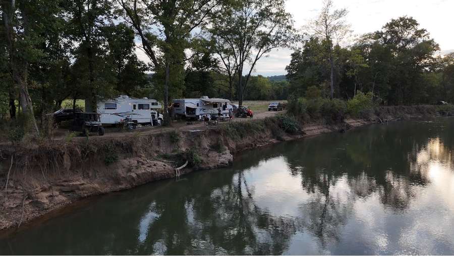
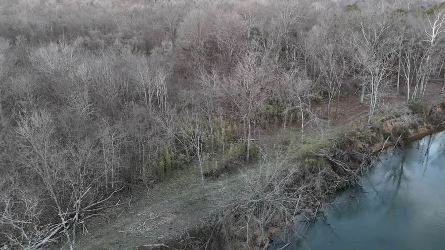
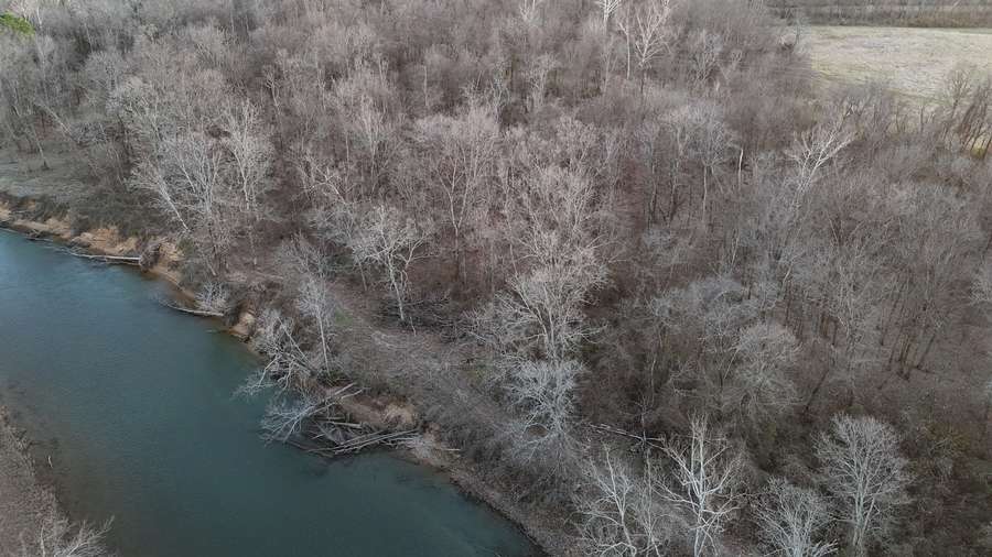
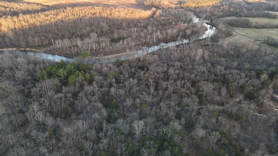
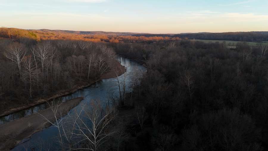
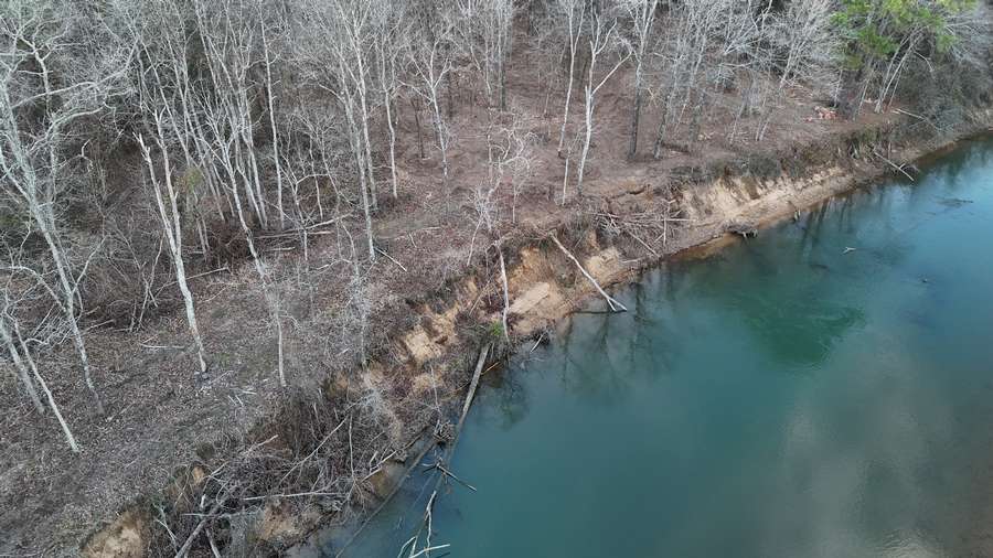
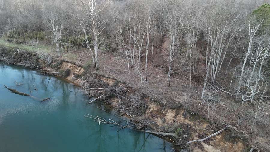
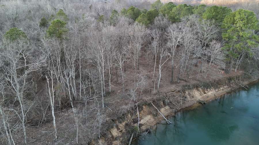
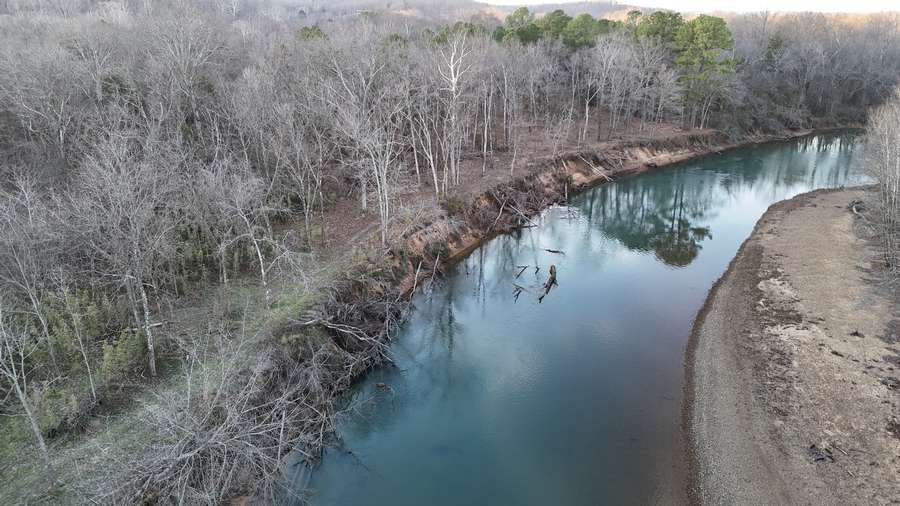
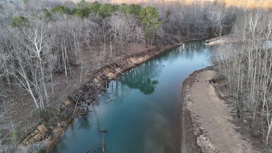
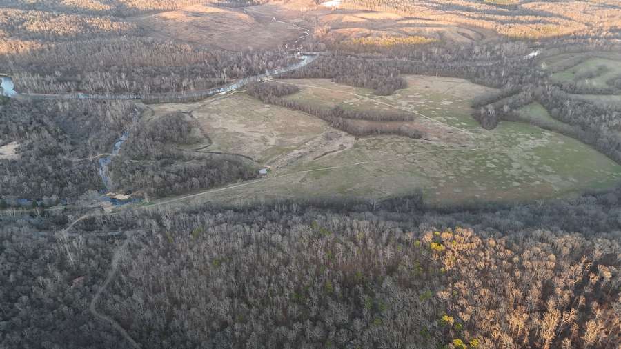
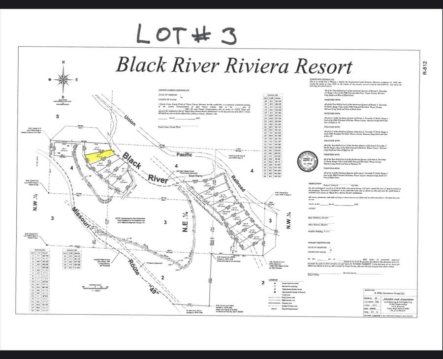
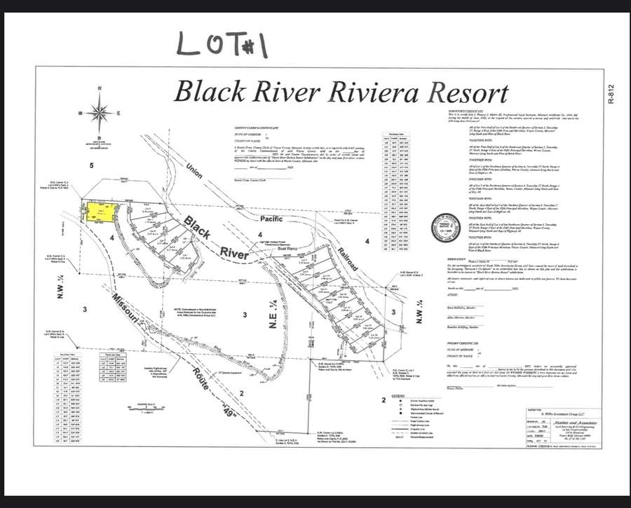
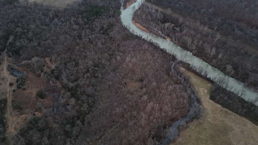
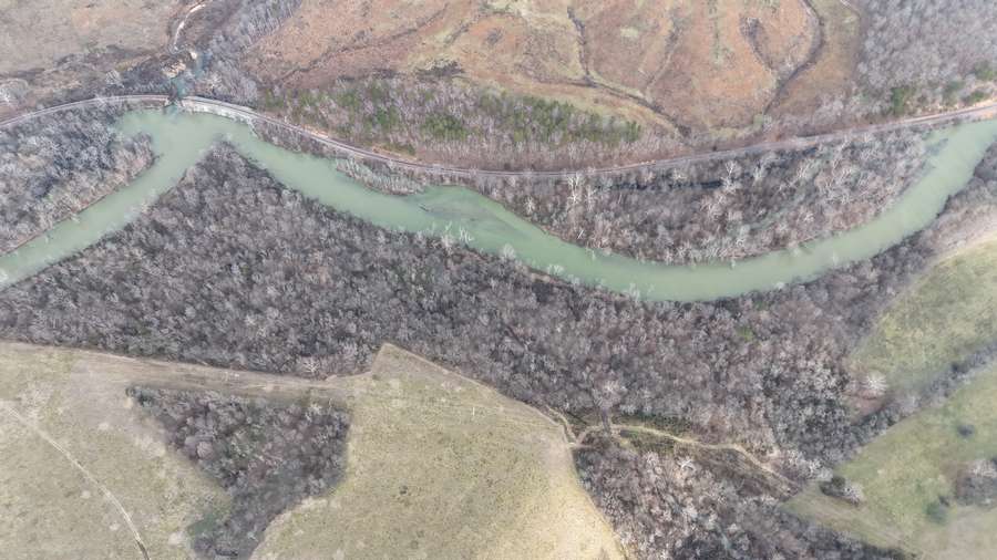
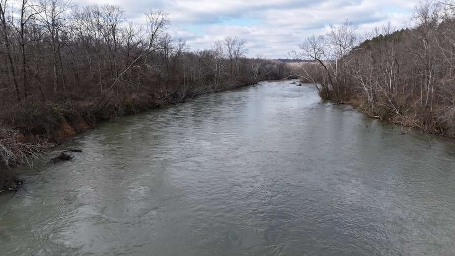
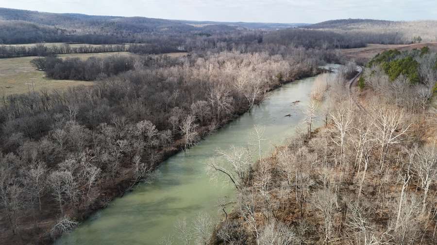
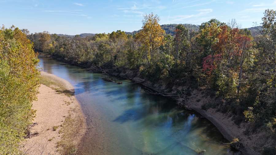
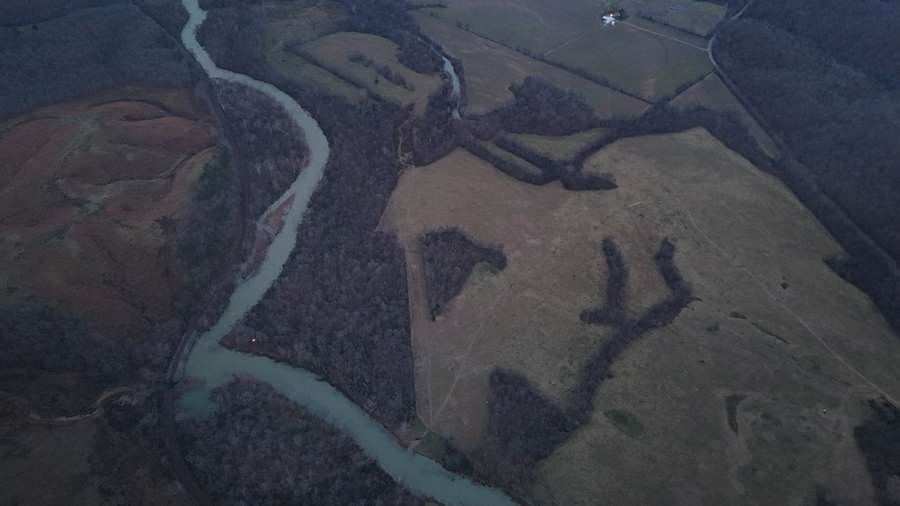
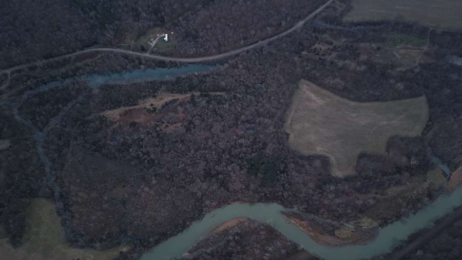
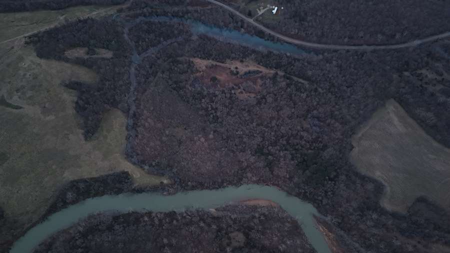
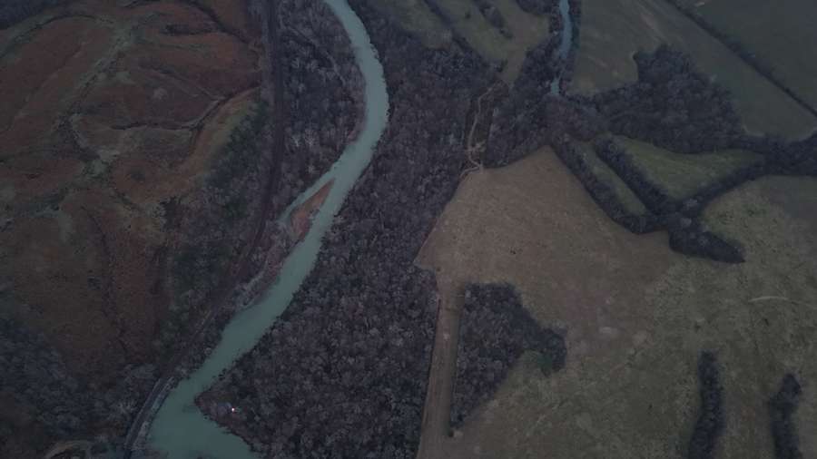
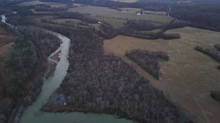
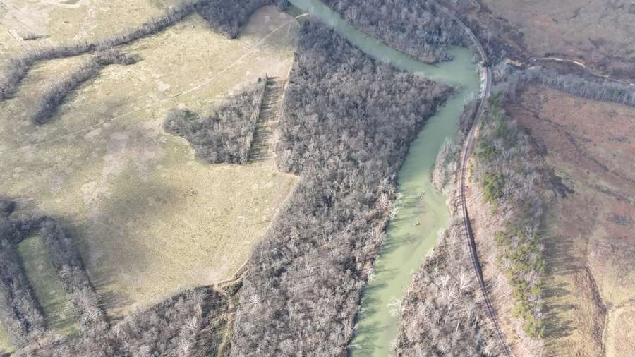
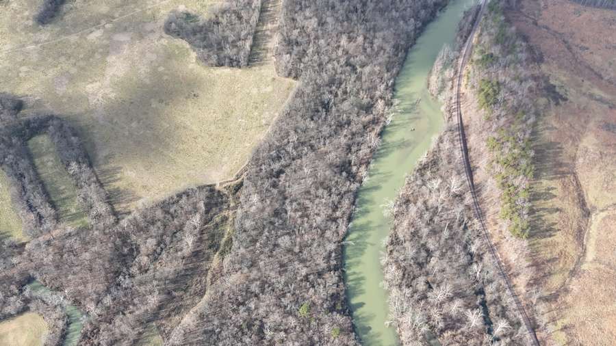
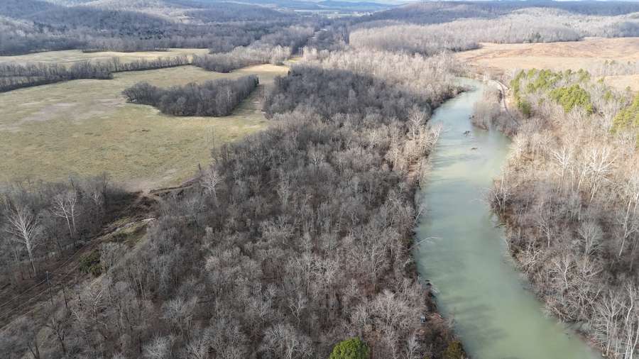
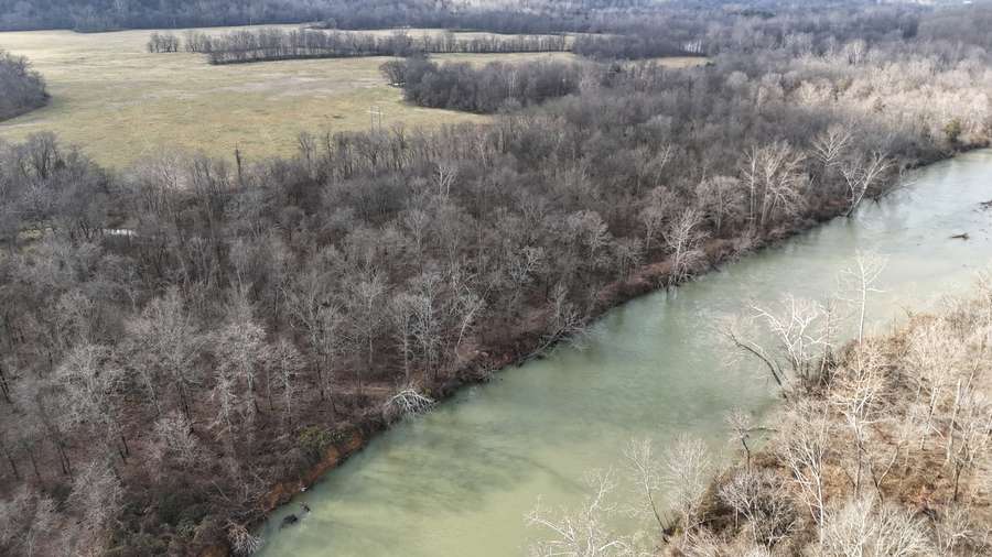
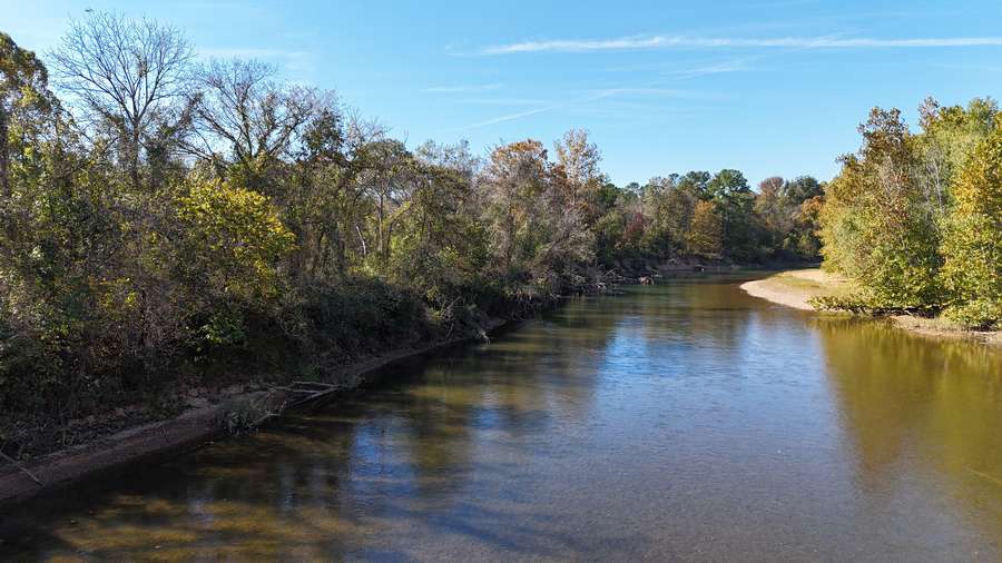
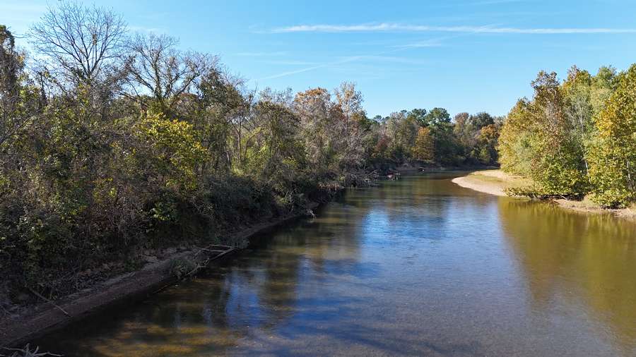
Black River Lots

Black River Lots

Photos

Map

IMG_0219.jpeg dji_fly_20250831_191328_0877_1757313728573_photo.jpeg dji_fly_20250831_190706_0868_1757313909984_photo.jpeg dji_fly_20250831_190632_0867_1757313910408_photo.jpeg dji_fly_20250831_190630_0866_1757313912545_photo.jpeg dji_fly_20250831_190454_0864_1757313911588_photo.jpeg dji_fly_20250831_190252_0859_1757313913399_photo.jpeg dji_fly_20250831_190258_0860_1757313913769_photo.jpeg IMG_0408.jpeg IMG_0410.jpeg IMG_0411.jpeg IMG_0412.jpeg IMG_0413.jpeg IMG_0414.jpeg dji_fly_20251226_163044_0067_1766812778195_photo.jpeg dji_fly_20251226_163144_0071_1766812776914_photo.jpeg dji_fly_20251226_163522_0079_1766812774455_photo.jpeg dji_fly_20251226_163324_0076_1766812775277_photo.jpeg dji_fly_20251226_163504_0078_1766812774700_photo.jpeg dji_fly_20251226_163116_0070_1766812777259_photo.jpeg dji_fly_20251226_163148_0072_1766812776571_photo.jpeg dji_fly_20251226_163112_0069_1766812777552_photo.jpeg dji_fly_20251226_163040_0066_1766812778508_photo.jpeg dji_fly_20251226_163058_0068_1766812777875_photo.jpeg dji_fly_20251226_163526_0080_1766812774142_photo.jpeg dji_fly_20251226_163534_0081_1766812773844_photo.jpeg dji_fly_20251226_163748_0085_1766812772654_photo.jpeg IMG_1672.jpeg IMG_1671.jpeg IMG_1670.jpeg IMG_1669.jpeg IMG_1668.jpeg IMG_1667.jpeg Copy of dji_fly_20241018_134846_0007_1735004370546_photo.JPG Copy of dji_fly_20241018_134844_0006_1735004370957_photo.JPG dji_fly_20241223_170640_0106_1735004045534_photo.JPG dji_fly_20241223_170630_0105_1735004045731_photo.JPG dji_fly_20241223_170626_0104_1735004045945_photo.JPG dji_fly_20241223_170622_0103_1735004046156_photo.JPG dji_fly_20241223_170518_0102_1735004046400_photo.JPG dji_fly_20241223_170510_0101_1735004047543_photo.JPG dji_fly_20241223_170202_0098_1735004046875_photo.JPG dji_fly_20241223_165850_0097_1735004046628_photo.JPG dji_fly_20241220_131812_0095_1735004116017_photo.JPG dji_fly_20241220_131608_0094_1735004116229_photo.JPG dji_fly_20241220_131606_0093_1735004116492_photo.JPG dji_fly_20241220_131308_0092_1735004116763_photo.JPG dji_fly_20241220_131220_0090_1735004117831_photo.JPG dji_fly_20241220_131134_0088_1735004117291_photo.JPG dji_fly_20241220_131128_0087_1735004117038_photo.JPG dji_fly_20241220_131114_0085_1735004118755_photo.JPG dji_fly_20241018_135012_0011_1735004371323_photo.JPG dji_fly_20241018_135000_0010_1735004370111_photo.JPG dji_fly_20241018_134902_0008_1735004369347_photo.JPG dji_fly_20241018_134846_0007_1735004370546_photo.JPG dji_fly_20241018_134844_0006_1735004370957_photo.JPG Copy of dji_fly_20241223_170640_0106_1735004045534_photo.JPG Copy of dji_fly_20241223_170630_0105_1735004045731_photo.JPG Copy of dji_fly_20241223_170626_0104_1735004045945_photo.JPG Copy of dji_fly_20241223_170622_0103_1735004046156_photo.JPG Copy of dji_fly_20241223_170518_0102_1735004046400_photo.JPG Copy of dji_fly_20241223_170510_0101_1735004047543_photo.JPG Copy of dji_fly_20241223_170202_0098_1735004046875_photo.JPG Copy of dji_fly_20241223_165850_0097_1735004046628_photo.JPG Copy of dji_fly_20241220_131812_0095_1735004116017_photo.JPG Copy of dji_fly_20241220_131608_0094_1735004116229_photo.JPG Copy of dji_fly_20241220_131606_0093_1735004116492_photo.JPG Copy of dji_fly_20241220_131308_0092_1735004116763_photo.JPG Copy of dji_fly_20241220_131220_0090_1735004117831_photo.JPG Copy of dji_fly_20241220_131134_0088_1735004117291_photo.JPG Copy of dji_fly_20241220_131128_0087_1735004117038_photo.JPG Copy of dji_fly_20241220_131114_0085_1735004118755_photo.JPG Copy of dji_fly_20241018_135012_0011_1735004371323_photo.JPG Copy of dji_fly_20241018_135000_0010_1735004370111_photo.JPG Copy of dji_fly_20241018_134902_0008_1735004369347_photo.JPG

Property Details

Acreage:

3.0000

Price:

$80,000.00

Address:

Mill Spring, MO  63952

County:

Wayne

Coordinates:

37.033610 / -90.662678

Price Per Acre:

$26,666.67

Property Type:

Recreational Land

Ryan McKinley: Broker Associate / Auctioneer

Ryan McKinley

* Required

Contact Managing Broker

Interested? Contact me for more information on this property!

Please enter your First Name.

Please enter your Last Name.

Please enter a valid Email address.

Please enter a Phone Number.

Please enter a Question or Comment.

Please verify with reCAPTCHA.

LOT #4 - 3 + acres in Wayne County Missouri with 125 feet +/- of beautiful Black River frontage. Wooded lot which can be shaped whichever way the new owner desires. Owners will not only have private river frontage with this lot but access to private boat ramp and river recreational area close by including private beach/gravel bar. Bunyard Spring flows 3-4,000,000 gallons of Missouri Ozark Spring water through the adjoining property with private lake as well. Lot owners will have access to these amenities as well. Fun for all ages and different hobbies for all. Water river check, Equestrian trials nearby, UTV/ATV riding in Wayne County and adjacent counties with permits available in all. Float, Ride Relax with us down by the Black River. Setup your appointment soon to get started for this coming summer enjoyment.  Lazy spring river flowing through property 

MLS#'s-  25008727-25008736

https://www.land.com/property/mill-spring-missouri-63952/22682155/
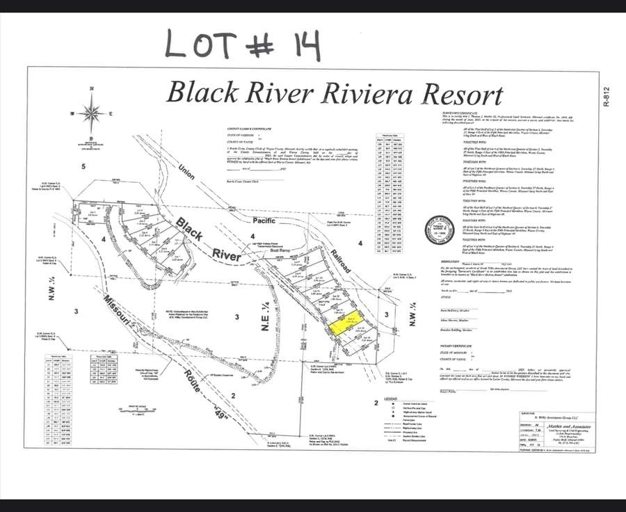
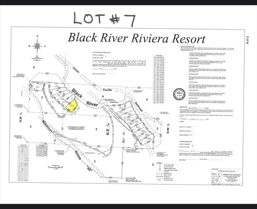
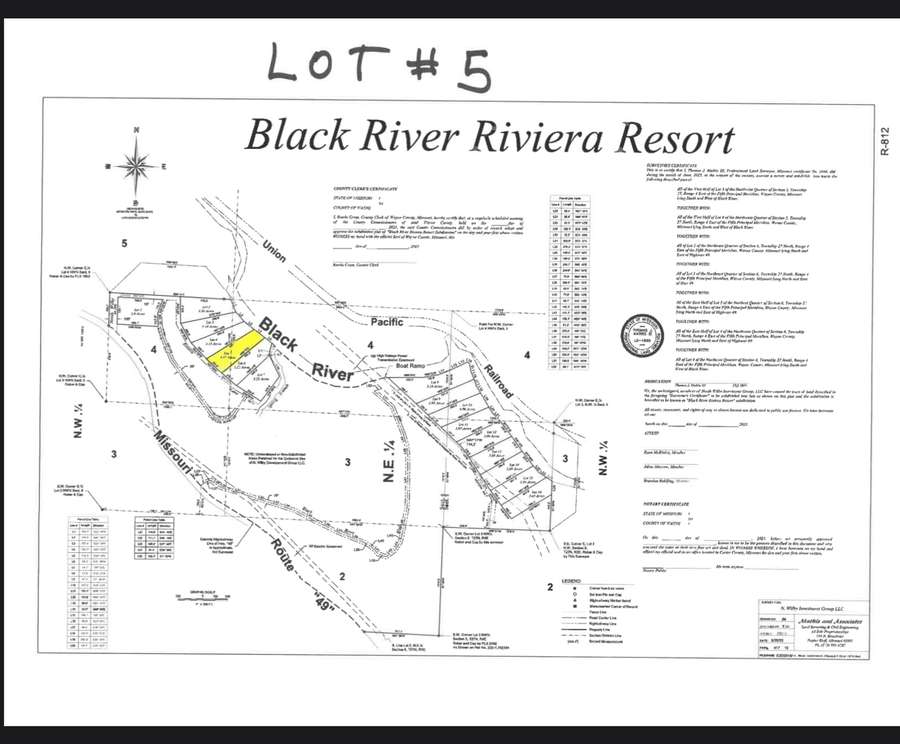
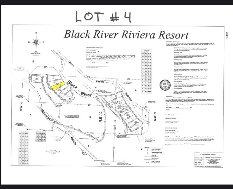
Lots- 

  • 1- $60,000
  • 3- $80,000
  • 4- $80,000
  • 5- $80,000
  • 7- $65,000
  • 14- $80,000

2026 Photos & Text Copyright - © Legacy Farm & Land Specialist, LLC
3plains.com - Land Real Estate Websites

Back To Top